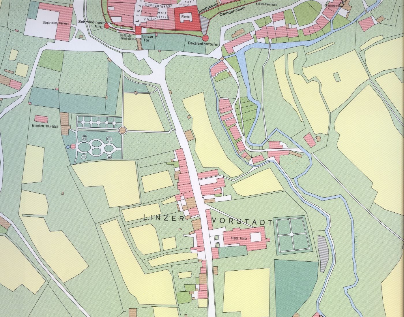
Ganesha Geo Solusi has carried out several government
projects for measuring the position of land ownership boundaries (parcels),
and will continue to develop work fields related to this Cadastral Survey.
Our Product :
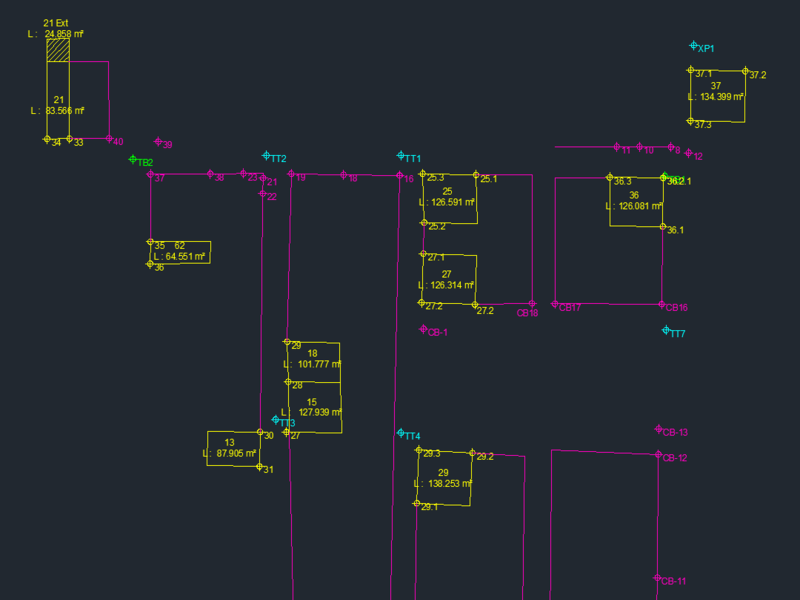
- Preparation of Basic Map for Registration
- Establishment of Land Parcel Boundaries
- Measuring and Mapping Fields Land
- Preparation of Land Register
- Making a Measure Letter
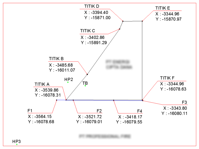
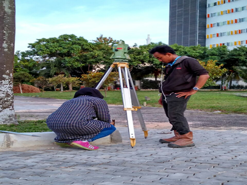
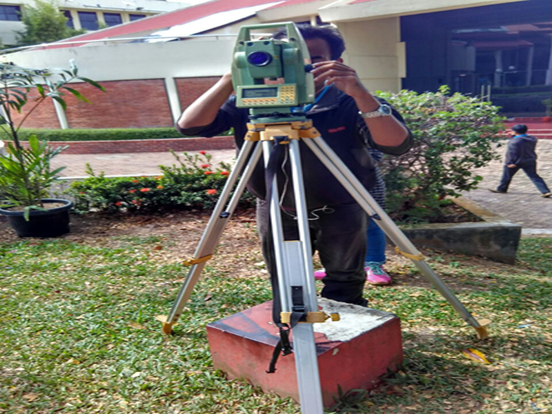
- Topographic Survey
- Land Ownership Survey
- Mining Survey
- Stockpile Volume Survey
- Construction Survey
- Pipeline Survey
- Geodetic Network Control
- Deformation / Slope Stability Monitoring
- Aerial Terrain Mapping
- Disaster Site Mapping
- Land Ownership Survey