Revolutionary Mapping
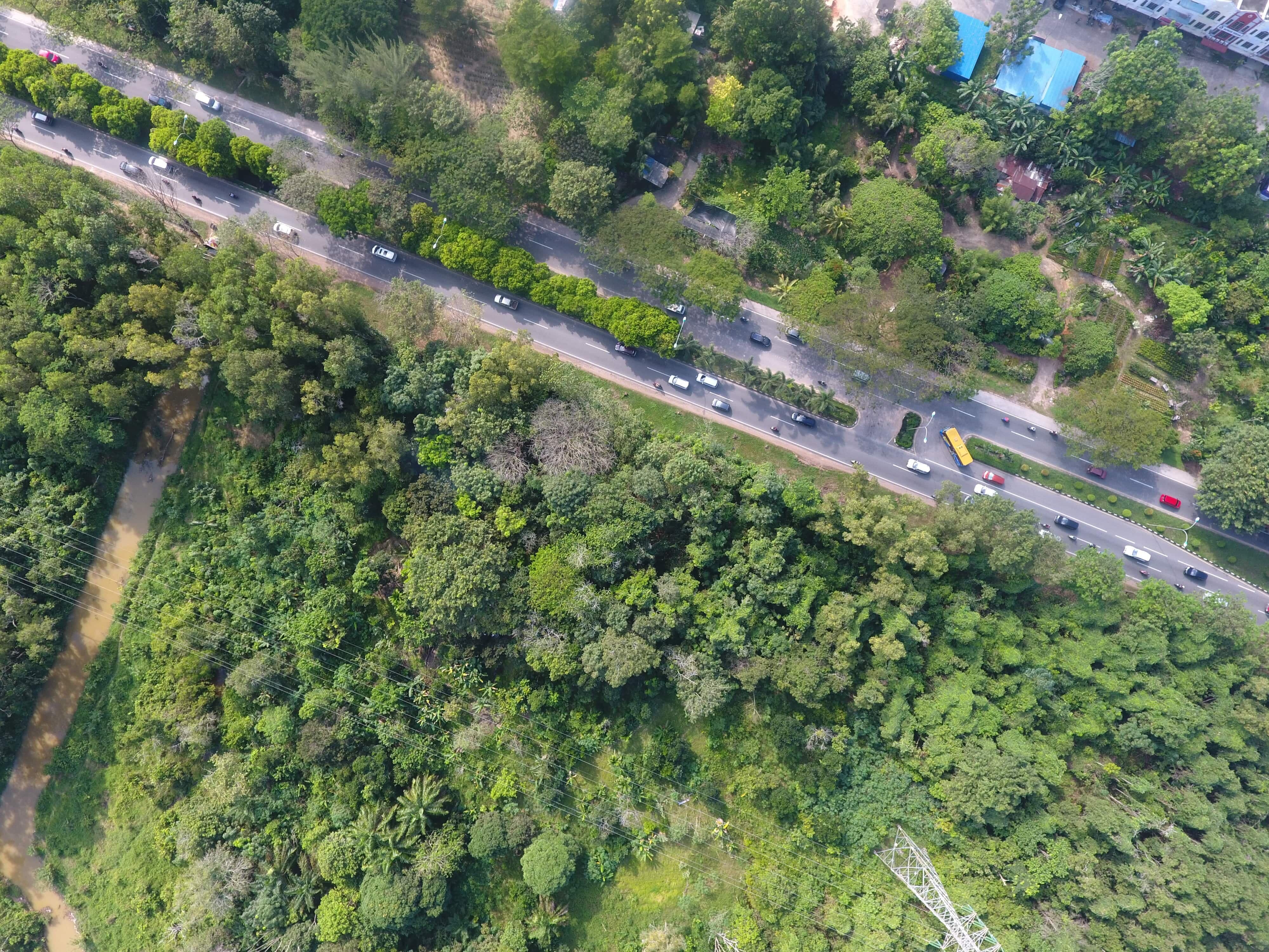
A fully automated aerial scan collects raw digital images from between 100 to 1000 meters altitude. These GPS positioned images have very high overlap.
Why Choose UAV?
- On Demand - Flexible deployment
- Less investment compared with full size aircraft
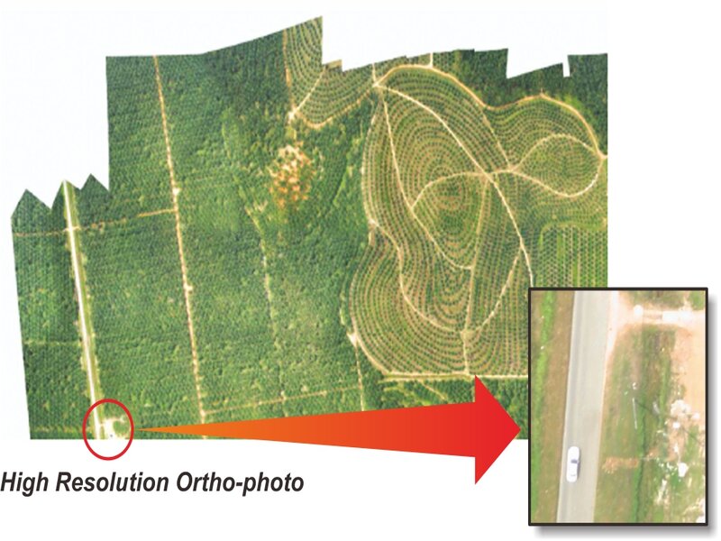
- Fly below cloud, clearer image resolution
- Less operating cost compared to traditional method
We can offer you the following services: