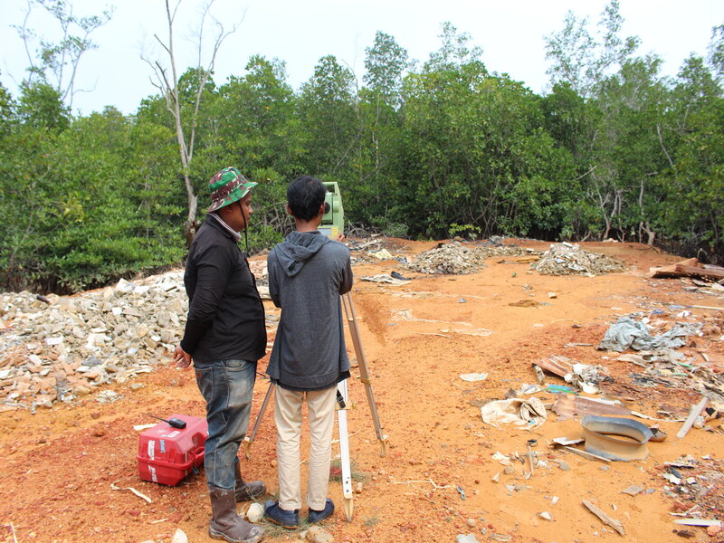
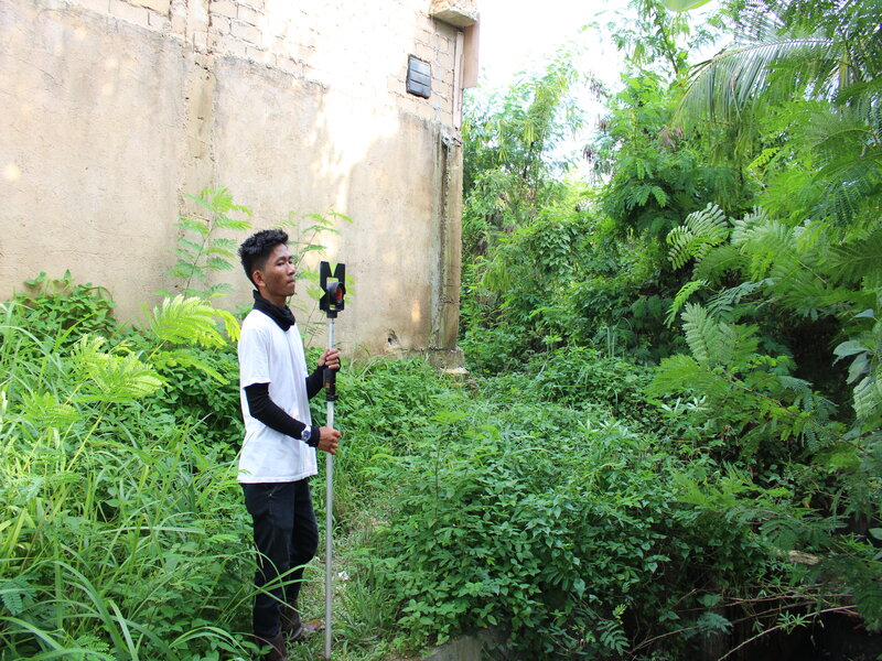
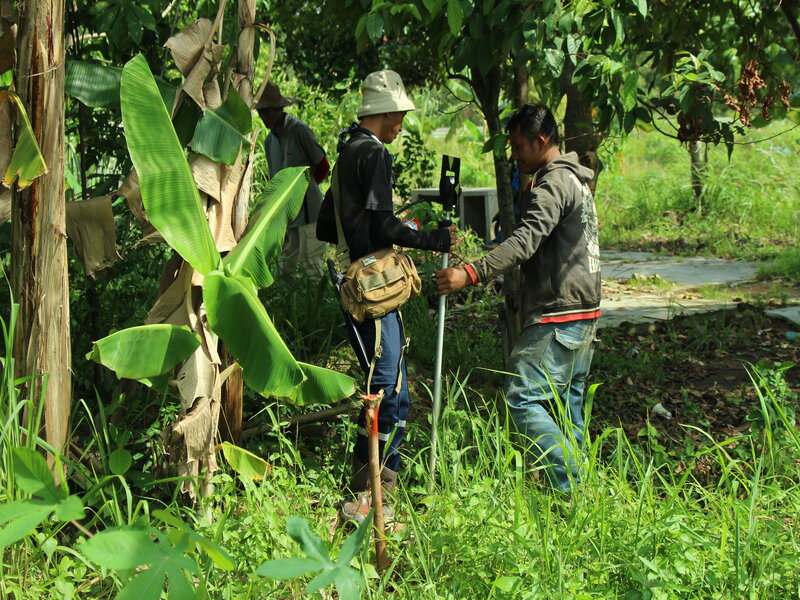
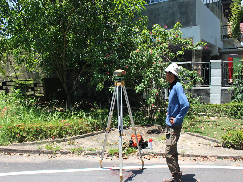
We offers many mapping services utilize latest mapping technology i.e.,Electronic Total Station, 3D Laser Scanner and Unmanned Aerial Vehicle (UAV) .
Mapping projects in support of planning, engineering and design are implemented and completed by our professionals surveyors with decades of experience in topographic mapping. We can offer you the following services:
Procedures that heed to be dimensionally controlled include alignment, length, thickness, ovality, straightness, circumference and as-built structures. Dimensional Control reduces unnecessary re-work and project inefficiency, prompt accurate fabrication is the end result.
As a survey company, Ganesha ls Solusi has the capability to carry out Land Survey works such as: